The Ritenour well pad operated by XTO in Fairfield Township in the Laurel Highlands, Westmoreland County. © Brian Cohen/MSDP 2012
A gas drilling rig sits above Beaver Run Reservoir in Westmoreland County. © Brian Cohen/MSDP 2012
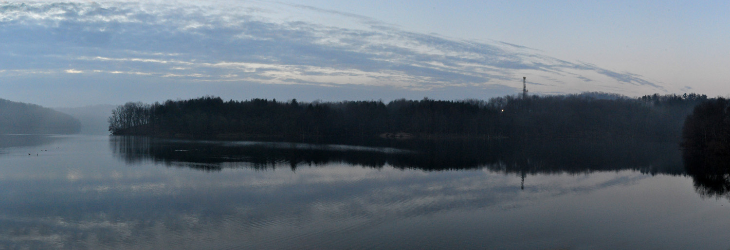
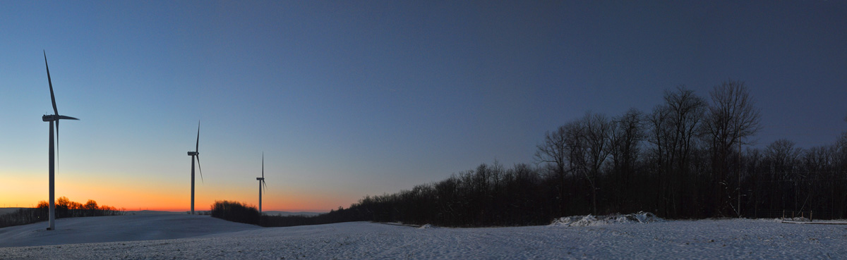
A wind farm sits at the end of Beaverdam Lake, east of Beaverdale in Cambria County. The lake, a 360-acre impoundment, is a popular fishing spot. © Brian Cohen/MSDP 2012
The Behm well pad, Butler County. © Brian Cohen/MSDP 2012
The Sarsen gas processing plant, Butler County. © Brian Cohen/MSDP 2012
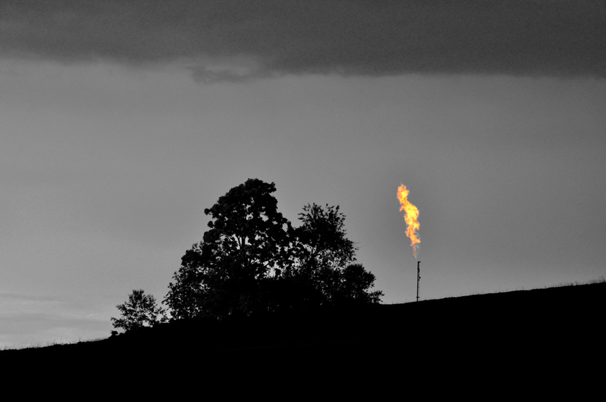
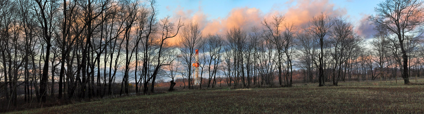
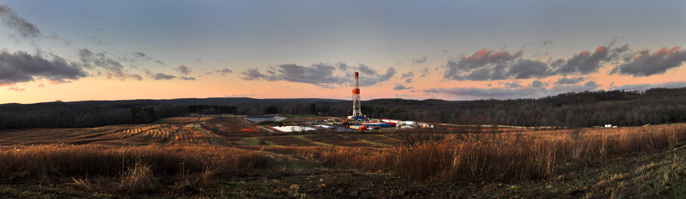
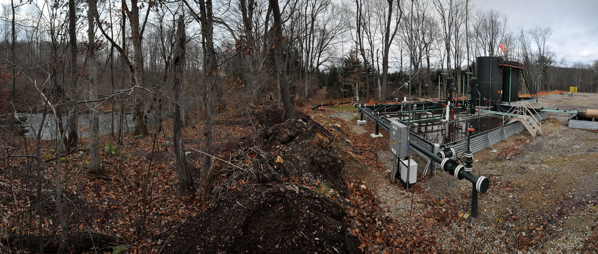
Flaring at the Kalp well in the Laurel Highlands of Pennsylvania. © Brian Cohen/MSDP 2012
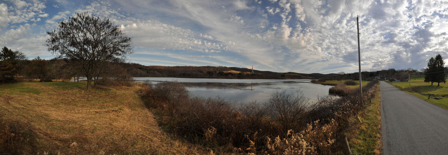
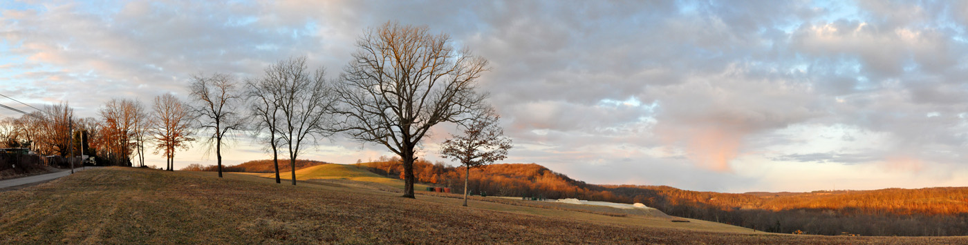
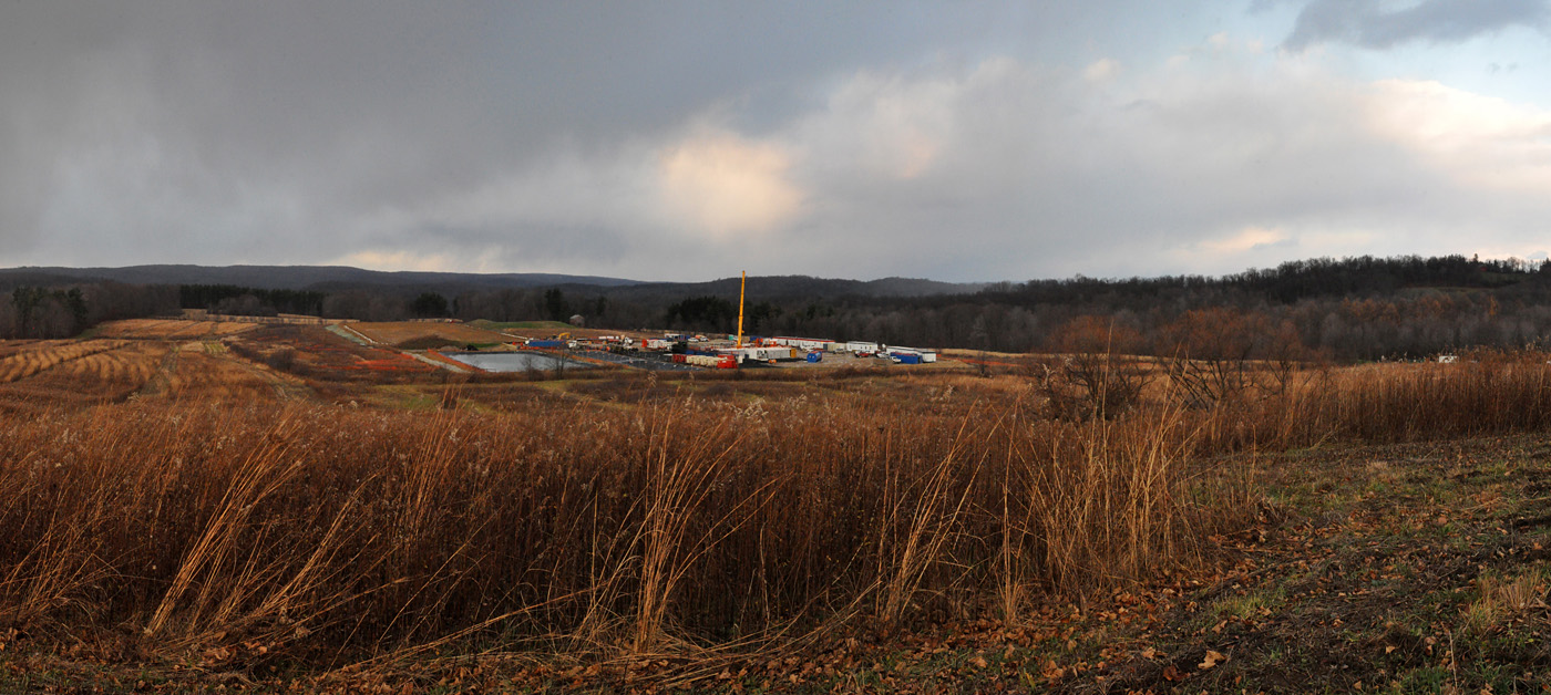
The Kalp well sits above Donegal Lake in the Laurel Highlands in Westmoreland County. The lake is maintained by the Fish and Boat Commission for public fishing and boating. © Brian Cohen/MSDP 2012
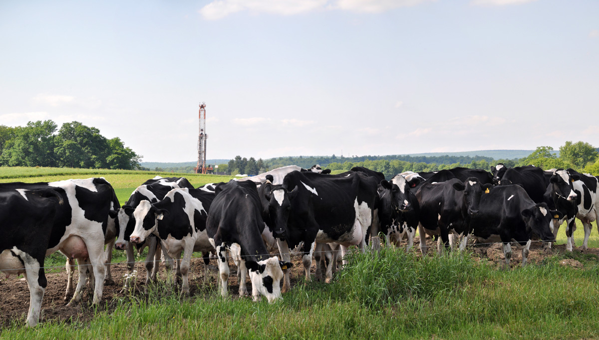
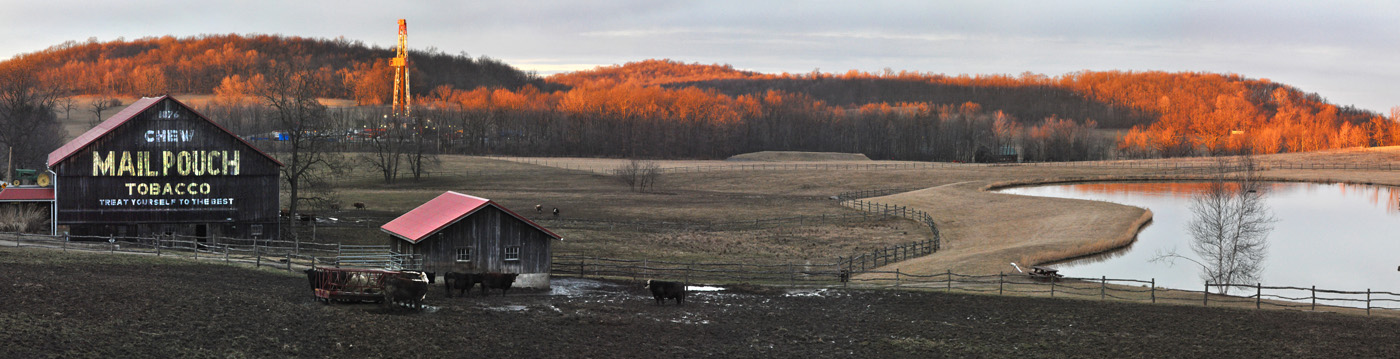
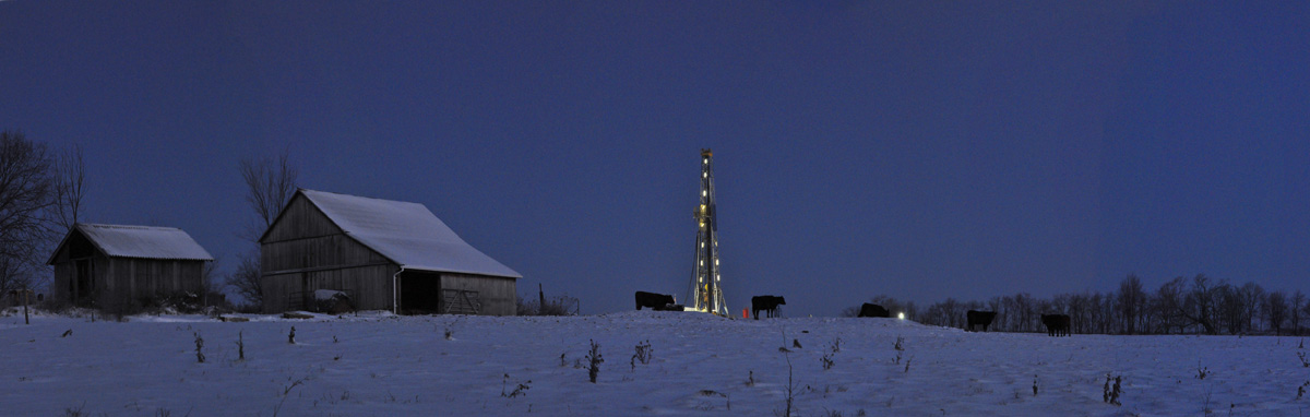
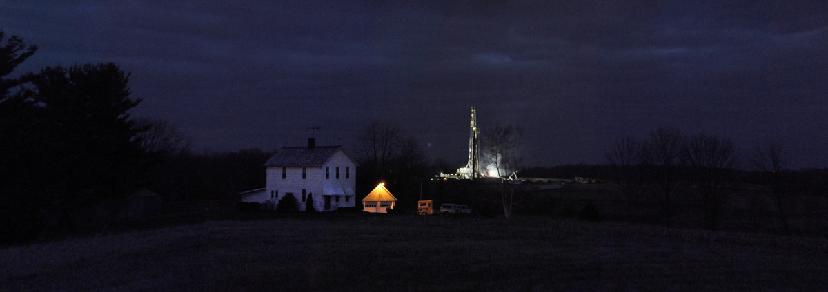
A gas drilling rig and some of their dairy herd on the Millers' property in Westmoreland County. © Brian Cohen/MSDP 2012
The drilling rig on the Millers' farm. © Brian Cohen/MSDP 2012
The Oelschlager well in the Laurel Highlands. © Brian Cohen/MSDP 2012
The Oelschlager well in the Laurel Highlands. © Brian Cohen/MSDP 2012
The Oelschlager well in the Laurel Highlands. © Brian Cohen/MSDP 2012
The Oelschlager well in the Laurel Highlands. © Brian Cohen/MSDP 2012
Range Resources’ well pad and rig above the Pittsburgh Mills strip mall in Tarentum, PA, Allegheny County. © Brian Cohen/MSDP 2011
Rex Energy's Lynn North well pad in Butler County. © Brian Cohen/MSDP 2012
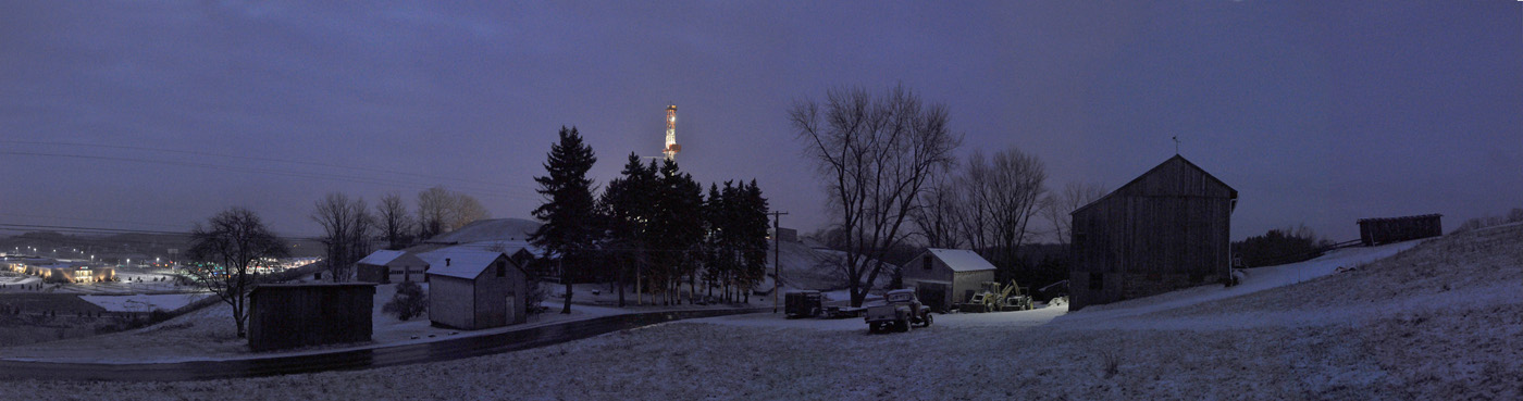
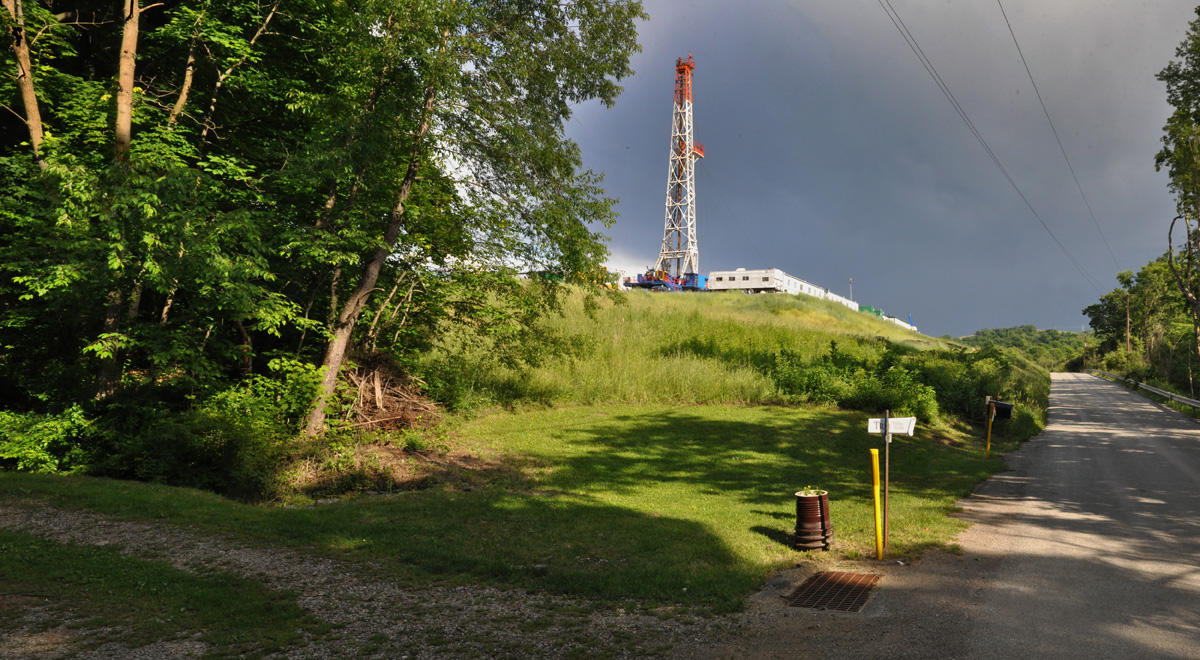
Williams’ Rial gas well pad under construction. Donegal, PA. © Brian Cohen/MSDP 2012
The drilling rig at Williams’ Rial gas well pad. Donegal, PA. © Brian Cohen/MSDP 2012
The drilling rig at Williams’ Rial gas well pad. Donegal, PA. © Brian Cohen/MSDP 2012

A gas drilling rig on Higgins Cemetery Road, Jackson Township, Greene County. © Brian Cohen/MSDP 2011
Stoystown wind farm, Somerset County. © Brian Cohen/MSDP 2011
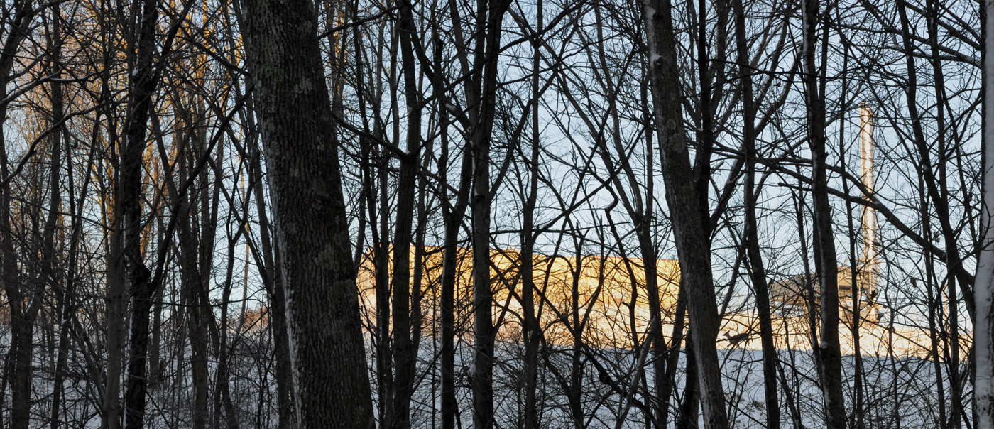
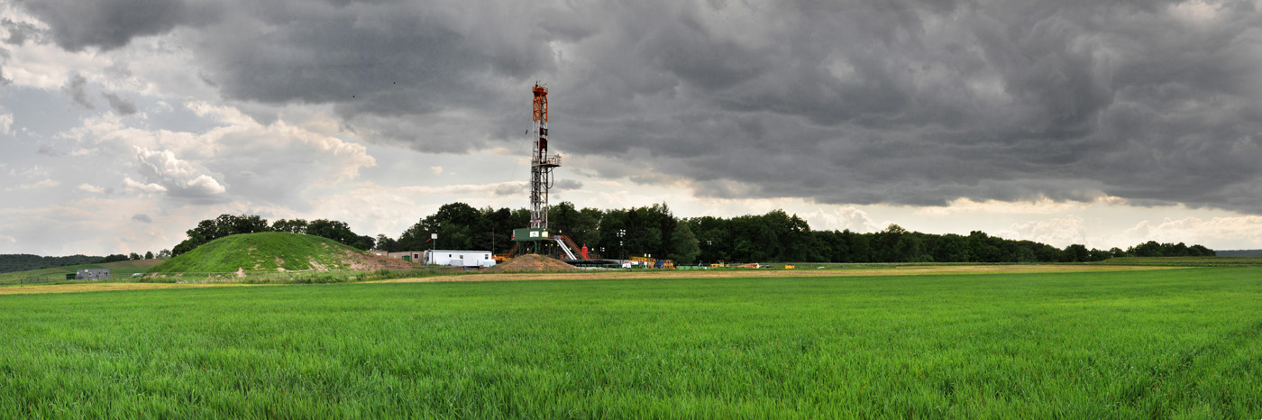
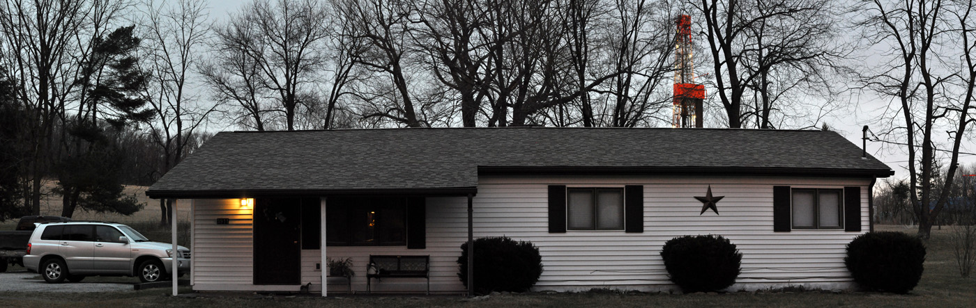
A small natural gas installation in the Laural Highlands. © Brian Cohen/MSDP 2011
XTO's Patton well pad and rig in Butler County. © Brian Cohen/MSDP 2011
XTO's Christiansen well pad and rig in the Laurel Highlands. © Brian Cohen/MSDP 2011
An XTO drilling rig at the Marburger dairy farm in Butler County. © Brian Cohen/MSDP 2012
XTO's Patton well pad and rig in Butler County. © Brian Cohen/MSDP 2011
Rural Lawrence County was one of the hubs of Marcellus Shale gas drilling in 2012. © Brian Cohen/MSDP 2012